The ground
Chalk · Lambeth Group clay · river gravel · Head
The centre of Sonning Common is mapped on chalk. Within half a kilometre, though, the map shows Lambeth Group clay to the east, river gravel to the south-west and Head — a mixed hillwash deposit — to the north.
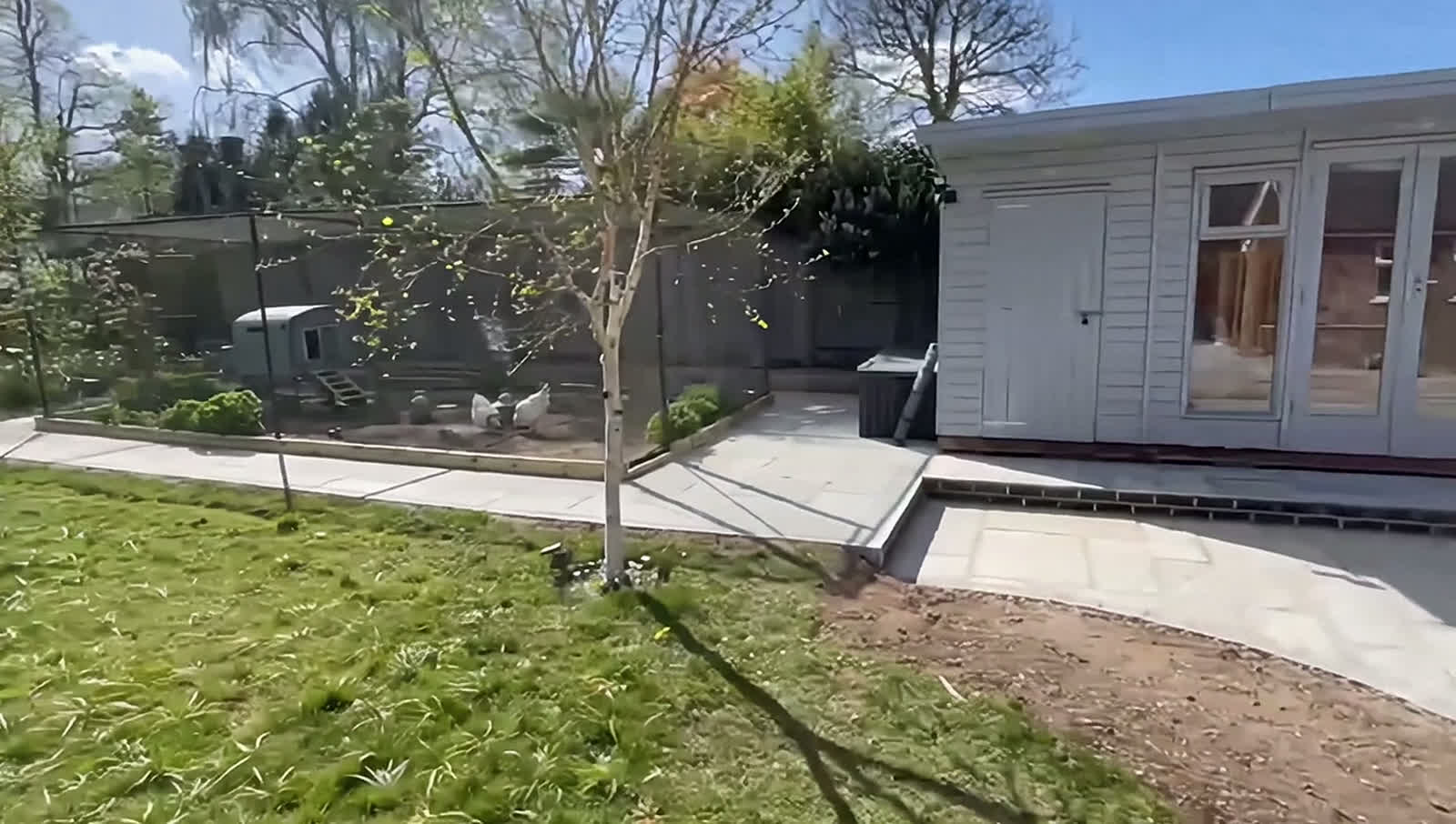
So the ground can change noticeably across the village, from free-draining to heavy clay. Soil can change markedly over a short distance, so it’s worth knowing which you have before a new lawn, patio or fence.
Planning
Chilterns boundary · no conservation area of its own
The village centre is just outside the Chilterns National Landscape — about 230 metres from the boundary — but about half the parish is inside it. At those addresses, planning permission is needed for any outbuilding placed beside the house, and beyond 20 metres from the house, garden buildings can cover no more than 10 square metres altogether without permission.
Sonning Common has no conservation area of its own; the nearest, Rotherfield Peppard, is about a kilometre from the centre. Fences, walls and gates usually go up without planning permission if they stay within two metres, or one metre beside a road.