The ground
Taplow Gravel · Shepperton Gravel · New Pit Chalk
Marlow’s centre sits on Taplow Gravel over New Pit Chalk, a blocky, white, firm to moderately hard chalk in the British Geological Survey’s description. The gravel itself is sand and gravel, in places with lenses of silt, clay or peat.
Half a kilometre out, the map changes to Shepperton Gravel (gravel with clay and sand) through the north-east, east, south-east, south and south-west, on the side towards the Thames (about 0.6 km from the centre). To the west and north-west, no deposit is mapped over the chalk at all.
Planning
Marlow Conservation Area · Buckinghamshire Council
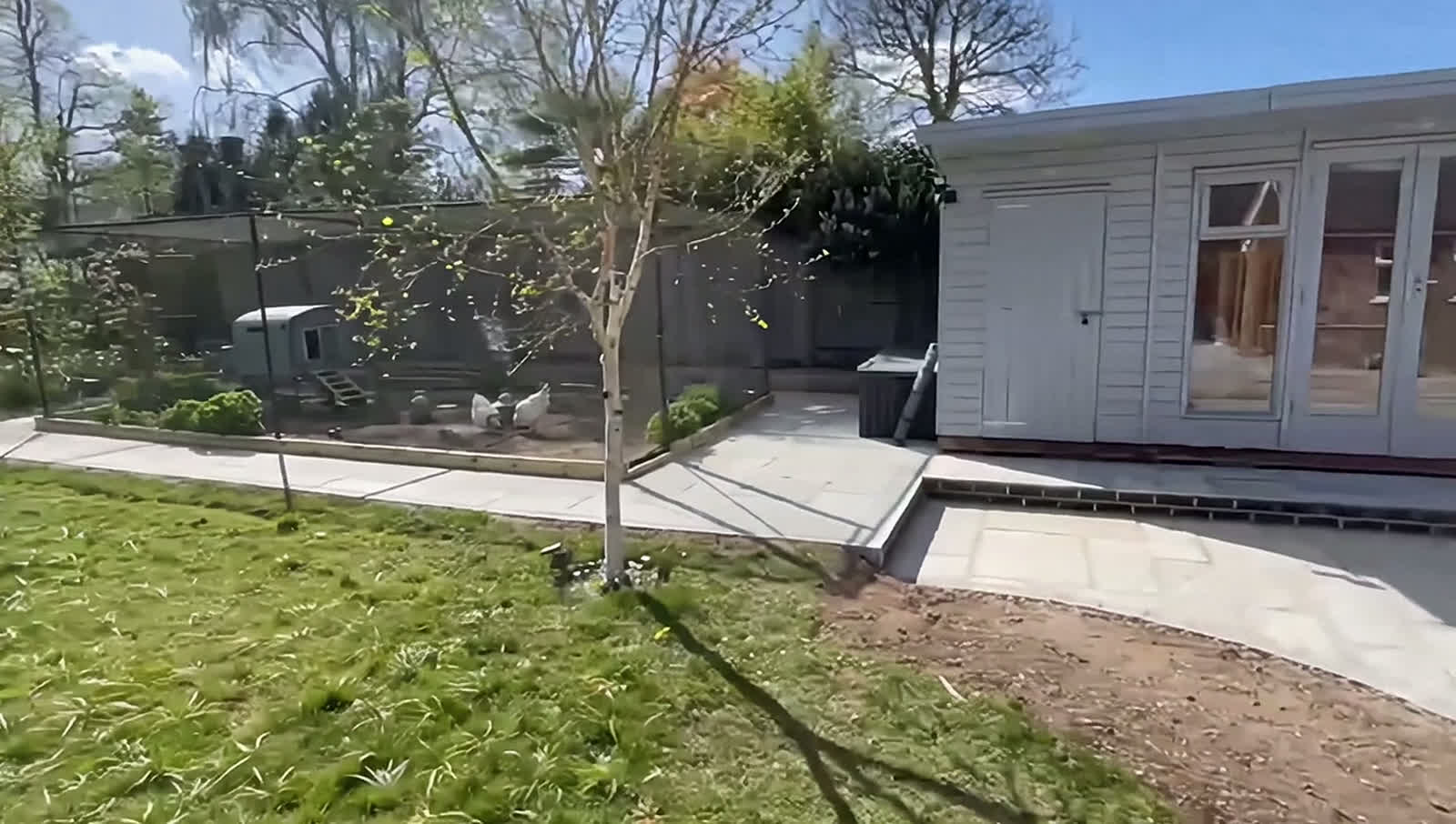
The town centre is in the Marlow Conservation Area. That makes it designated land, so a garden building beside the house needs planning permission; Buckinghamshire Council also needs six weeks’ warning of tree work (small trees, under 75 mm across at 1.5 m, are exempt), and you might need consent to remove a fence, wall or gate.
Marlow’s centre sits outside the Chilterns National Landscape, about 0.7 km from its boundary, though about 13% of the parish lies inside it, so it’s worth confirming your address before planning a garden building. Outside the conservation area, a fence, wall or gate can usually go up without planning permission if it’s no taller than two metres, or one metre next to a road.